Built · Alamo Heights
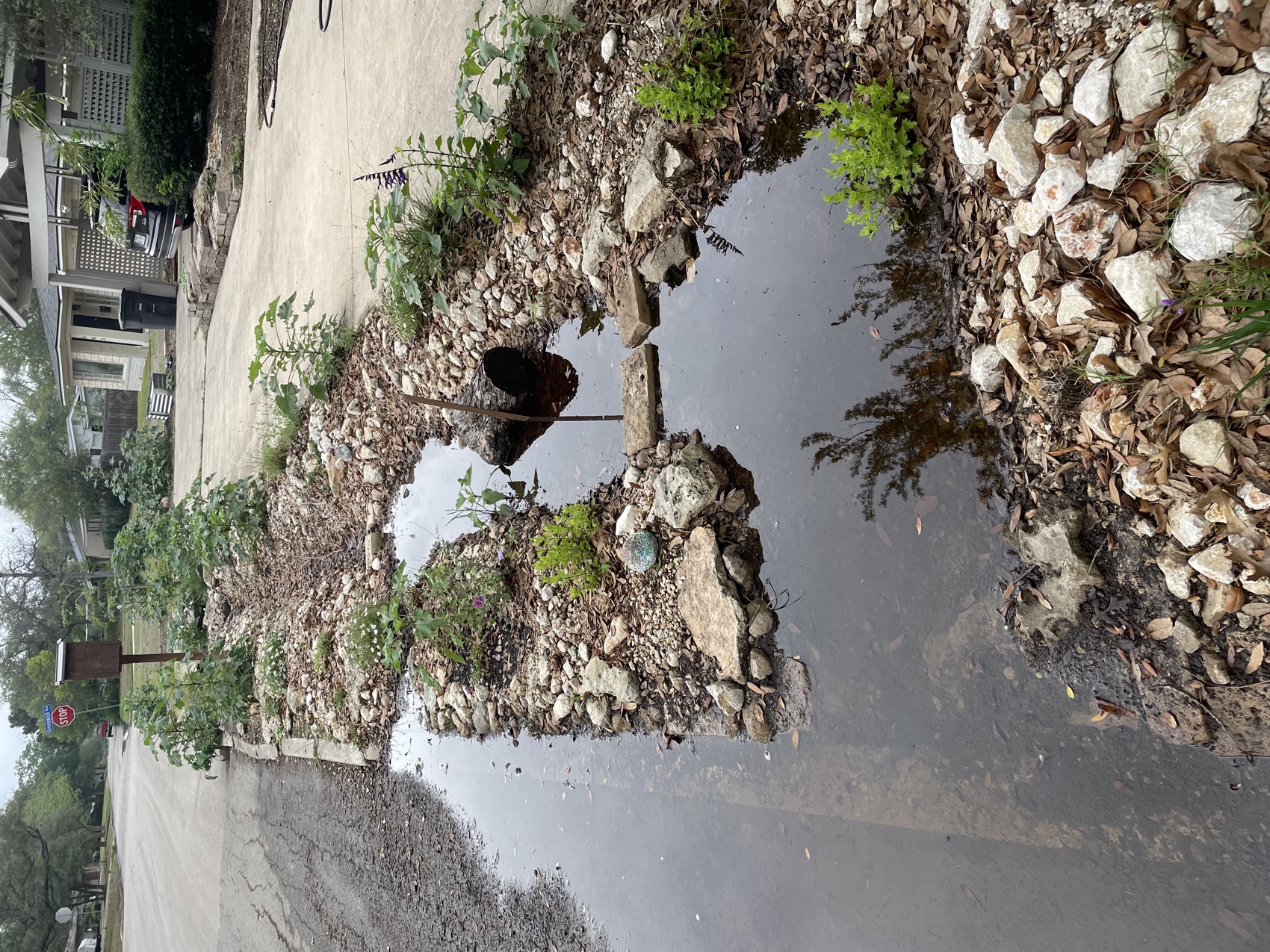
We turned a curb that dumped every storm into the street into a bioswale that drinks it — the same move your ground is asking for.
13 feet of channel. ~200 gallons of street flood an hour, field-observed.
See the build →Living systems, built & measured.
Type an address. In seconds, read the land underneath it — soil, drainage, slope, climate, and the rain that falls on it. Real public data. No signup.
Your reading can do more than guide your ground. With your consent — and only with it — your Land Record joins the Institute’s research program with [PARTNER: e.g., the Barshop Institute], under IRB oversight [IRB PROTOCOL #]: open habitat records through networks like iNaturalist and GBIF, and the study of what living ground is associated with in the people who keep it. Your land, advancing the record for everyone’s.
Consent-first · revocable anytime · you own your record
Transparent by design — every source named, nothing invented. Each reading deepens the Institute’s open record of Hill Country ground: the research beneath a place changes the body — native habitat, and what living ground is associated with in the people who keep it.
We turned a curb that dumped every storm into the street into a bioswale that drinks it — the same move your ground is asking for.
13 feet of channel. ~200 gallons of street flood an hour, field-observed.
See the build →The Site Read — 90 minutes on your ground, a written read inside 48 hours. $300, credited — free when you build.
Instant readings draw on public datasets — USDA Web Soil Survey, USGS elevation and hydrography, NOAA / Open-Meteo climate, FEMA flood mapping, GBIF biodiversity, the EPA Walkability Index, and NLCD tree canopy — resolved to the address you enter. They are a first orientation, not a survey. Biodiversity, walkability, and tree canopy are neighborhood-scale signals, not parcel-specific. Soil, drainage, and water move at a finer grain than any national map; the on-the-ground assessment is where the real reading happens. Where a dataset is briefly unavailable, that card is simply omitted rather than guessed.